- To: gembud <gembud@xxxxxxxxxxxxxxxx>
- Subject: [gembud] edititing tabless,,
- From: Jeff Lake <jefflakejeff@xxxxxxxx>
- Date: Wed, 2 Nov 2016 07:31:48 +0000
- Authentication-results: unidata.ucar.edu; dkim=none (message not signed) header.d=none; unidata.ucar.edu; dmarc=none action=none header.from=live.com;
- Spamdiagnosticmetadata: NSPM
- Spamdiagnosticoutput: 1:99
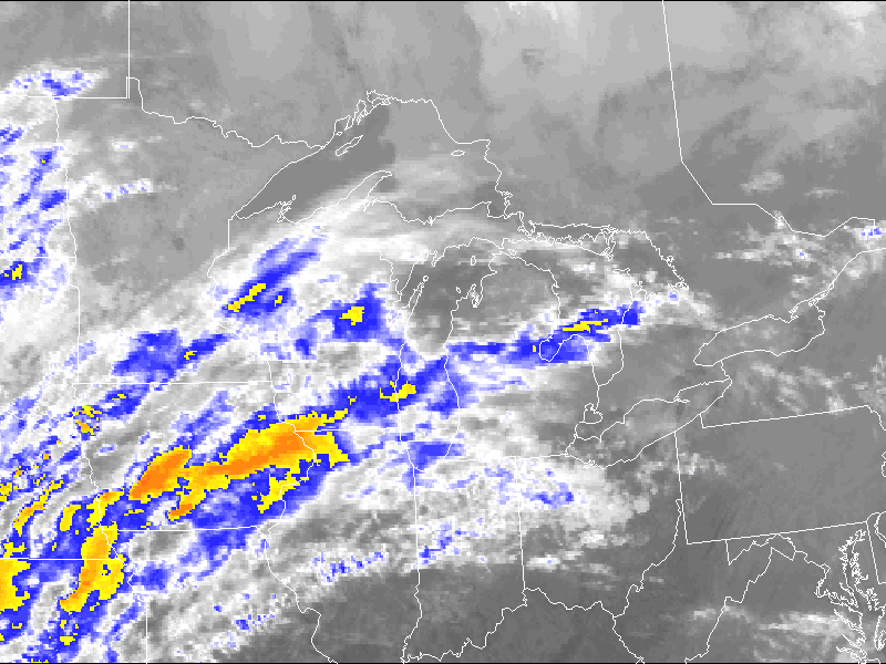
good morning.. I may have stumbled on a bug in Gempak7.3.0

I edited the $ GEMTBL/stns/geog.tbl primarily the Michigan line so my
map would be centered on MI..

here is the new line

GLSE    GREATLAKES           43.25  -85.00   37.90  -98.37 49.66  -73.13 nps

and the desired results for color enhanced IR

http://sats.theweathercenter.net/glse/ceir/latest.png

but I get Invalid Graphics Area on visual


--
=======Jeff Lake======
K8JSL
Attachment:
glse_ceir.png
Description: glse_ceir.png
- Follow-Ups:
- Re: [gembud] edititing tabless,,
- From: Larry D. Oolman
- Re: [gembud] edititing tabless,,