- To: idvusers@xxxxxxxxxxxxxxxx
- Subject: [idvusers] Sounding Table Issues (4.0u1)
- From: Jeremy Martin - NOAA Federal <jeremy.martin@xxxxxxxx>
- Date: Wed, 24 Jul 2013 14:54:22 +0000
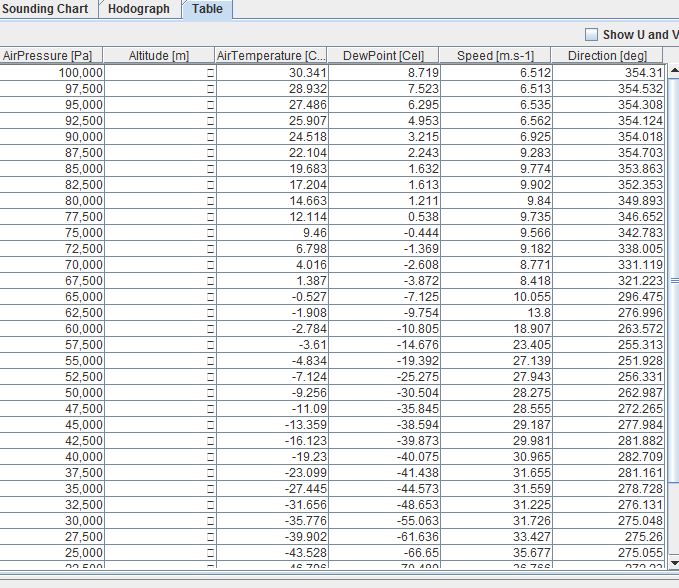
List,

I am in the process of creating some soundings off of a set of archived RUC
data , but I have run into a small issue.  The soundings themselves appear
to be created and there is a geopotential altitude display on the cursor
readout, but when I go to the table the Altitude section is a [] (or Nan if
I export it to a CSV in Excel) . I checked in the 3d fields and
geopotential height is available in the data.

I have attached an image of the table and sounding if that helps.

Any help/ideas would be greatly appreciated,

Jeremy Martin
Science and Operations Officer
Goodland, KS
Attachment:
table.JPG
Description: JPEG image
- Follow-Ups:
- Re: [idvusers] Sounding Table Issues (4.0u1)
- From: Julien Chastang
- Re: [idvusers] Sounding Table Issues (4.0u1)