Thanks Sean. Works like a charm!
Here is a working example in RAMADDA -
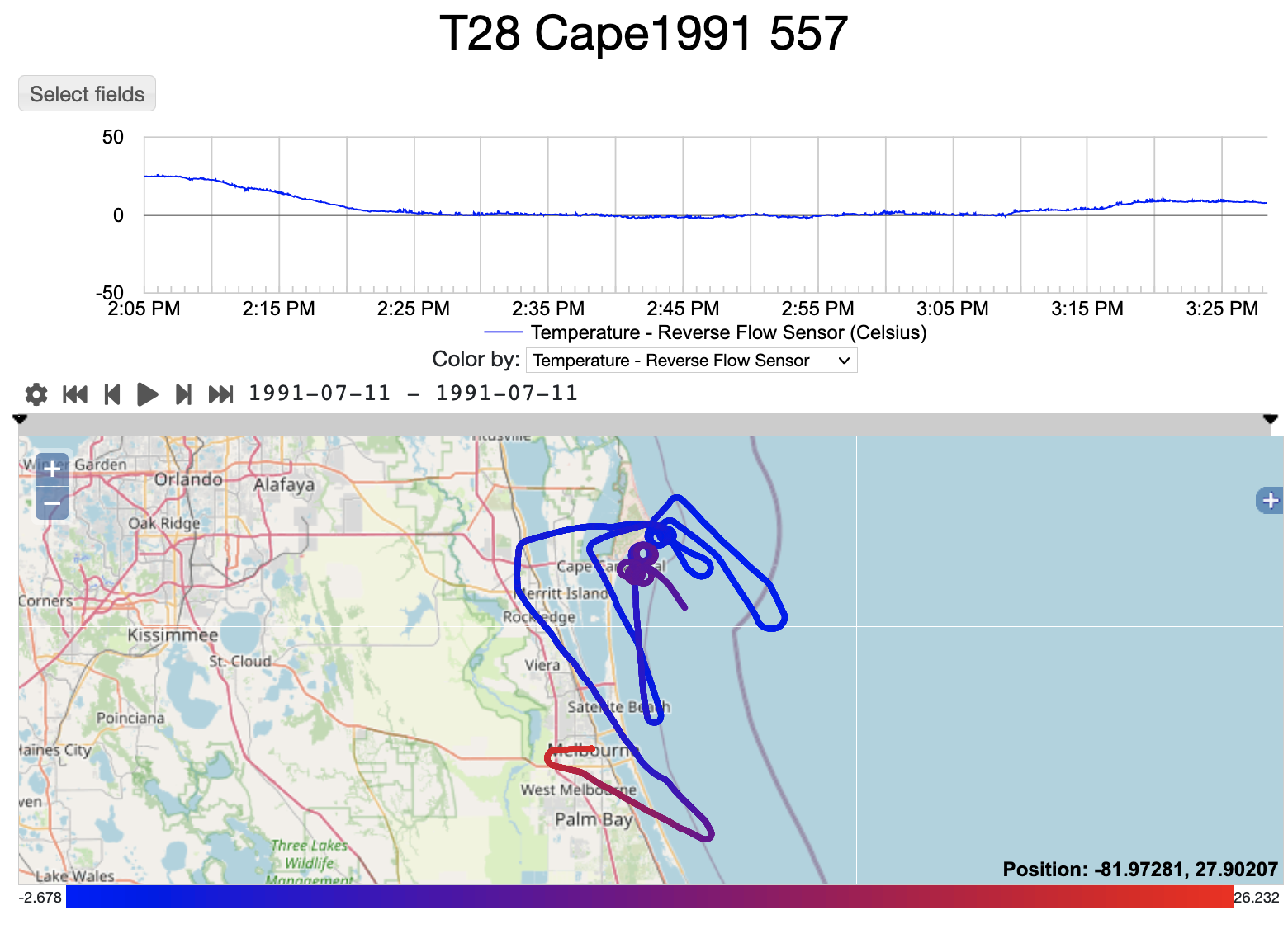
https://geodesystems.com/repository/entry/show?entryid=239dea1a-fddd-4d8e-8741-64c409c7ea4e
[image: image.png]
-Jeff
On Thu, Jul 15, 2021 at 7:47 AM Sean Arms <sarms@xxxxxxxx> wrote:
> Greetings Jeff!
>
> The minimum you will need to do is use NcML to identify the different
> coordinate axes using the _CoordinateAxisType attribute, like so:
>
> <netcdf xmlns="http://www.unidata.ucar.edu/namespaces/netcdf/ncml-2.2";
> location="T28_CAPE1991_557.nc">
> <variable name="LATITUDE_DECIMAL_DEG_20Hz">
> <attribute name="_CoordinateAxisType" value="Lat" />
> </variable>
> <variable name="LONGITUDE_DECIMAL_DEG_20Hz">
> <attribute name="_CoordinateAxisType" value="Lon" />
> </variable>
> <variable name="GPS_ALTITUDE">
> <attribute name="_CoordinateAxisType" value="Height" />
> </variable>
> <variable name="Time">
> <attribute name="_CoordinateAxisType" value="Time" />
> </variable>
> </netcdf>
>
> Using this NcML, I was able to get toolsUI to recognize the file as a
> trajectory dataset. There is a Nimbus coordinate system builder, but it is
> looking for different variable names to annotate with the axis type
> attributes (otherwise, this would work out of the box).
>
> Cheers!
>
> Sean
>
>
> On Thu, Jul 15, 2021 at 6:51 AM Jeff McWhirter <jeff.mcwhirter@xxxxxxxxx>
> wrote:
>
>> Hi Unidata folks,
>> I have a netcdf file that is supposed to be aircraft track data. The CDL
>> can be viewed here-
>>
>> https://geodesystems.com/repository/entry/show/Home/RAMADDA+/Development/Test+Import/T28+Cape1991+557?entryid=58e52051-1415-4aaf-a5f8-9dda8572f9f1&output=data.cdl
>>
>> And the file can be downloaded here:
>>
>> https://geodesystems.com/repository/entry/show?entryid=58e52051-1415-4aaf-a5f8-9dda8572f9f1
>>
>> I am unable to open it as a trajectory or as a point using the
>> ucar.nc2.ft.FeatureDatasetPoint class.
>>
>> Any ideas? Maybe an NCML trick? It is data from the South Dakota School
>> of Mines T28 plane that EOL converted.
>>
>> Thanks
>> Jeff
>>
>>
>> _______________________________________________
>> NOTE: All exchanges posted to Unidata maintained email lists are
>> recorded in the Unidata inquiry tracking system and made publicly
>> available through the web. Users who post to any of the lists we
>> maintain are reminded to remove any personal information that they
>> do not want to be made public.
>>
>>
>> netcdf-java mailing list
>> netcdf-java@xxxxxxxxxxxxxxxx
>> For list information or to unsubscribe, visit:
>> https://www.unidata.ucar.edu/mailing_lists/
>>
>