Bill Hibbard wrote:
Azimuth is an angle (essentially the same as longitude according to
my understanding) so I would expect it to either increase or decrease
consistently around the circle, rather than do some of both.
Hi Bill,
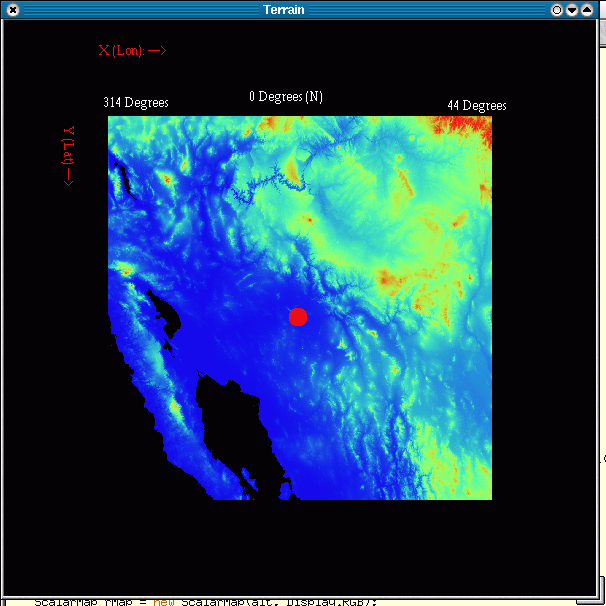
Aahhhh, you're right that Azimuth should increase (sorry about the
confusion). My problem is that as I pass through North (from the radar
perspective) I either go from 359.999 to 0 degrees, or 360.0 to 0.01
degrees. Hence the temporary (one gridpoint) decrease in Azimuth (see
attached image). At the same time, my range will decrease from X = 0,
to X = 516 and then increase from X = 517 to X = 1033. How would I work
around that?
Thanks!

-kevin.

--
+------------------------------------------------------------+
Kevin L. Manross        [KD5MYD] <><          (405)-366-0557
CIMMS Research Associate               kevin.manross@xxxxxxxx
[NSSL-WRDD/SWATN]           http://www.cimms.ou.edu/~kmanross

"My opinions are my own and not representative of CIMMS, NSSL,
NOAA or any affiliates"
+------------------------------------------------------------+