- To: jimmy lee <movielover88@xxxxxxxxx>
- Subject: Re: [visad] netcdf to image
- From: Tom Whittaker <whittaker@xxxxxxxx>
- Date: Wed, 25 May 2011 09:55:29 -0500
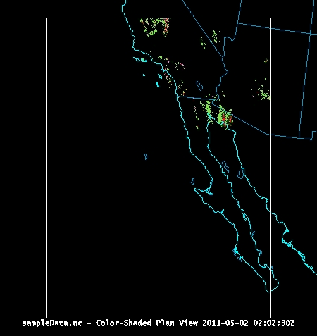
Jimmy...

The simplest way would be to use McIDAS-V
(http://www.ssec.wisc.edu/mcidas/misc/mc-v/), which is built on VisAD.
Your netCDF file is well-formed and imports directly into McIDAS-V.
Attached is a display of your data (0 - 0.05).

Otherwise, you will have to write code (I would recommend Jython) to
import the data, create appropriate coordinate system, and then create
a display.  While there are tools (like the VisAD Spreadsheet) that
will provide direct display of some data, you do not get the benefit
of easy manipulations or map projections that McIDAS-V gives you.

Hope that helps.

tom

On Tue, May 24, 2011 at 5:54 PM, jimmy lee <movielover88@xxxxxxxxx> wrote:
>
> Hi there,
>
> I'm new to visad and read the tutorials but I'm still not sure how to create
> an image (jpeg,tiff) file from a netcdf file using visad. What would be a
> simple process to do something like this? I checked the examples but it
> didn't work for the sample data I have. I'm including the sample data I'm
> using maybe someone can help me out. Thanks for all your help.
> _______________________________________________
> visad mailing list
> visad@xxxxxxxxxxxxxxxx
> For list information, to unsubscribe, visit:
> http://www.unidata.ucar.edu/mailing_lists/


--
Tom Whittaker
University of Wisconsin-Madison
Space Science & Engineering Center (SSEC)
Cooperative Institute for Meteorological Satellite Studies (CIMSS)
1225 W. Dayton Street
Madison, WI  53706  USA
ph: +1 608 262 2759
Attachment:
sampleData.jpg
Description: JPEG image
- References:
- [visad] netcdf to image
- From: jimmy lee
- [visad] netcdf to image